Adobe clay with sand & rock outcrops. Boating put-in. Very heavy foot and horse use. Limited hiker camps.
Details
Location:
Seven miles northeast of Montrose in the Gunnison Gorge NCA
Length:
2.2 mile roundtrip
Difficulty:
Intermediate
Time:
1 to 1.5 hours
Trailhead Elevation:
5960
Elevation Change:
-500
Camping Info
Limited hiker camps.
Map + Directions
Basic Directions
The Gunnison Gorge NCA is located approximately 50 miles south of Grand Junction. Falcon Road, east off U.S. Highway 50, about 10 miles north of Montrose and just south of Olathe, provides access from the southwest.
Delta County Road 2200, approximately 10 miles east of Delta on Colorado Highway 92 near Austin, provides access to the NCA from the sorth. Follow the signs to Peach Valley Road.
The northern end of the NCA can be acessed from the BLM Gunnison Forks Day Use Area located approximately 13 miles east of Delta. Look for the Gunnison Forks/Pleasure Park sign and paved County Road 28.10 south of Colorado Highway 92.
We also have visitor guides available in states highlighted in blue below. Click on any state to see what's available.
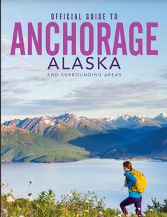
Alaska
Arizona
California
Canada
Colorado
Hawaii
Idaho
Louisiana
Michigan
Montana
Nevada
New Mexico
Ohio
Oregon
Texas
Utah
Washington
Wyoming
Switch to Mobile Browser Mode
We offer a compact version of Go-Alaska for mobile users, allowing you to access just the information you need on the road. Of course, you can still use the full version of Go-Alaska on your mobile device just as you can on your desktop.