Alaska Map

go-alaska.net

Our new sites are now in beta, tell us what you think

Wrangell-St. Elias NP, Alaska - Transportation

Maps, Directions, Airports, Rental Cars, Shuttles,...

Transportation information for Wrangell-St. Elias NP is provided below. Travel information includes driving directions, maps, airport information and more.

Results


Request Your Free Travel Planners

The nearest major airport is located in Anchorage. It is approximately a 4-hour drive to park headquarters in Copper Center/Glennallen. Local air taxis and flightseeing tours leave from the airstrips in Glennallen, McCarthy, and Chitina.

Backcountry Connections, offers van service to McCarthy/Kennecott. This service runs daily during summer months. For more information call (907) 822-5292.

  • Transportation Services

Enterprise Rent-A-Car Get a free upgrade on your next rental - most Airport Locations. BOOK NOW! Enterprise Rent-A-Car offers great rates and great service. Choose from over 6,500 locations near your home, work or destination.

Basic Directions

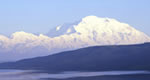
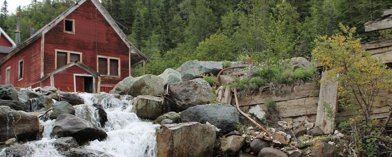
Although you can view the park's mountains from along the Richardson Highway, Glenn Highway, and Edgerton Highway, there are only two gravel roads that actually enter the park. The Nabesna Road (42 miles long) begins at Slana and offers spectacular scenery and access to a seldom seen, wild corner of Alaska. The McCarthy Road (60 miles long) begins at Chitina, follows an old railbed, and ends at the historic communities of McCarthy and Kennecott. This road provides access to great hiking, fishing, and camping.

Customizable Directions
From:    To: 
Language: 

Formatted DirectionsMap
AmericasBestValueInn-Skyscraper-1-AK

Email Page Link

Complete the form below to email this page to a friend or family member's email. You can send yourself an email as well. Your email and your recipient's email will NOT be shared with anyone. See our full Privacy Policy for details.
Your name:
Your email address:
Friend's email(s):


Send yourself a copy: Yes No
Subject:
Body: